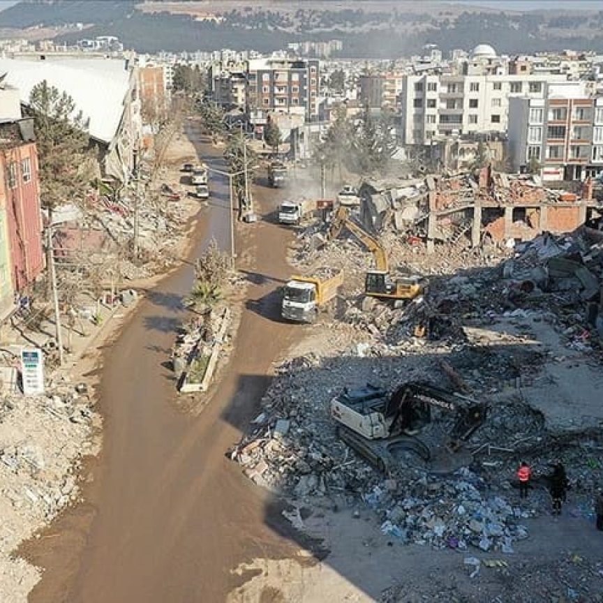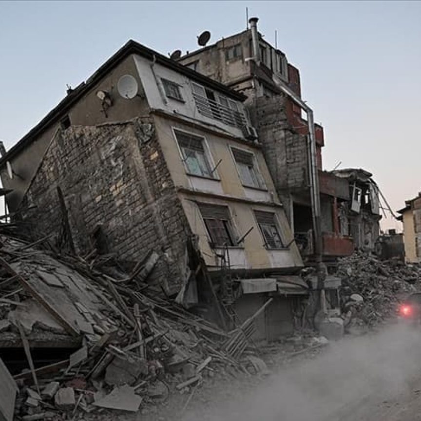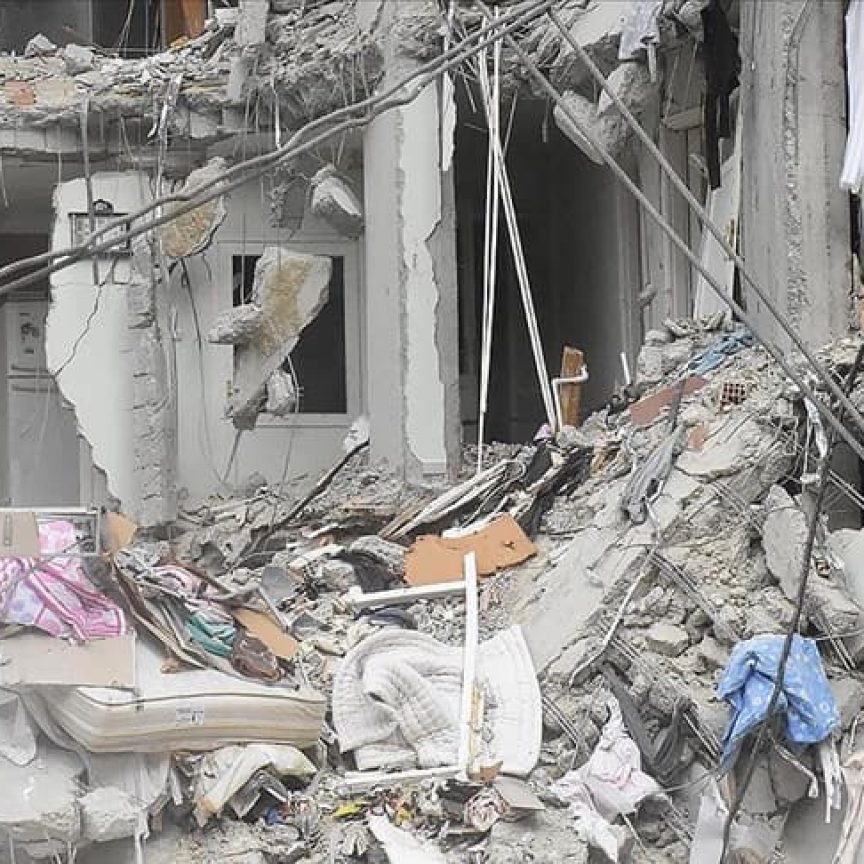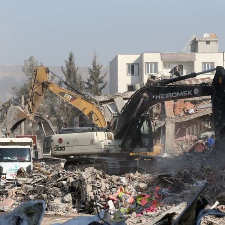

The Kahramanmaraş-centred earthquakes that occurred on February 6 differ from other natural disasters experienced in our country and the world in several aspects.
Considering the marine and terrestrial fault zones in Türkiye, it is seen that there are active faults with the potential to generate nearly 1000 earthquakes. All of these faults can manifest themselves as devastating earthquakes when the time arrives. According to Türkiye’s earthquake data, over the past 120 years, a total of 23 earthquakes with magnitudes greater than 7 have been recorded. The most devastating of these was the Erzincan earthquake in 1939, which struck at a depth of 20 kilometres and killed around 33 thousand people. The magnitude of the earthquake was recorded as 7.8.
The first of the February 6 earthquakes occurred at a depth of 5.5 km and the second at a depth of 5 km, according to Kandilli Observatory and Earthquake Research Institute data. As a result, both earthquakes are classified as “shallow earthquakes,” and the damage inflicted by such earthquakes is significantly greater.
The 7.7 magnitude Pazarcık earthquake generated three times more seismic energy than the 7.4 magnitude Gölcük earthquake on August 17, 1999. The 7.6 magnitude Elbistan earthquake, which occurred 9 hours later, also released two times more seismic energy than the İzmit earthquake.
Major earthquakes triggering minor earthquakes is a geological phenomenon that has previously been observed in faults such as the USA’s San Andreas Fault and Türkiye’s North Anatolian Fault. The Düzce earthquake on November 12, 1999, was triggered by the Gölcük earthquake that hit three months earlier. Furthermore, the 7.9 magnitude earthquake that happened in Erzincan on December 26, 1939, triggered the 7.1 magnitude Erbaa-Niksar earthquake on December 20, 1942, in the west, and the second one also triggered the 7.6 magnitude earthquake in Tosya on November 26, 1943. The major difference between recent and past earthquakes in our country is that the interval between the main and triggered earthquakes is as short as 9 hours. Additionally, it is the first time in our country’s history that the same region has been affected by two huge and two mid-scale (6.6 and 6.0) earthquakes in a very short period of time.
In terms of the death toll, the Erzincan earthquake ranks eighth among earthquakes of the twentieth century. The number of people who died in Maraş-centred earthquakes is over 49 thousand. It differs from the Erzincan earthquake in that it happened in a region encompassing 11 provinces with a population of 13.5 million, affecting multi-storey buildings that violate current building regulations.
Compared to natural disasters that occur around the world, the magnitude of these earthquakes is especially striking. None of the seismic events that killed thousands of people, such as the earthquakes in Türkiye, happened so close to the earth’s surface and one after the other.
Every year, the earth experiences 10-18 earthquakes with magnitudes between 7 and 8. The Kahramanmaraş-centred earthquakes, the worst seismic event in Turkish history since the 526 Antioch earthquake, rank fifth on the list of the deadliest earthquakes of the twenty-first century, following the 2004 Indonesia, 2010 Haiti, 2008 Sichuan, and 2005 Kashmir earthquakes.
Indonesia Earthquake
Pakistan Earthquake
Sichuan Earthquake
Haiti Earthquake
Kahramanmaraş Earthquake
The 9.1 magnitude marine earthquake that struck 160 kilometres off the Indonesian island of Sumatra in 2004 had a depth of 30 kilometres. The tsunami that affected 15 countries after the earthquake is estimated to have killed 228 thousand of people.
As a result of the 7.7 magnitude Kashmir Earthquake that struck Pakistan in 2005, 87,000 people lost their lives. After the earthquake, which occurred 15 km under the surface, 978 aftershocks were recorded, the largest of which was 6.4.
The 2008 Sichuan Earthquake, which killed 87 thousand of people, occurred at a depth of 19 kilometres. The largest of the aftershocks measured 6.0.
The 2010 Haiti Earthquake had a magnitude of 7.0 and happened 13 kilometres under the surface. The greatest of the aftershocks measured 5.9. According to an official statement, 316.000 people died in the earthquake, which affected around three million people.
According to data from the Kandilli Observatory, the first of the two earthquakes that hit Türkiye on February 6, 2023, occurred at a depth of 5.5 kilometers and the second at a depth of 5 kilometers. For that reason, both quakes are categorized as “shallow earthquakes,” and the damage inflicted by such quakes is relatively greater.
Our Government’s Response to Earthquake in Kahramanmaraş
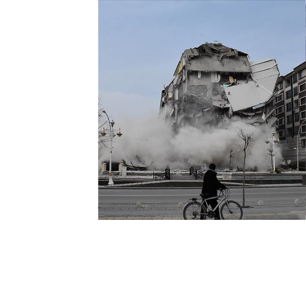

Following the two major earthquakes with magnitudes of 7.7 in Pazarcık, Kahramanmaraş, and 7.6 in Elbistan on February 6, 2023, aftershocks continue in the region. As of March 6, 2023, approximately 14,000 aftershocks had occurred within one month of the disasters. Following the disasters, our state’s search and rescue, evacuation, catering, shelter infrastructure, healthcare services, psychosocial support, husbandry supports, and damage assessment efforts in the region are still under way.
Immediately after the earthquake, our Ministers carried out inspections in all quake-hit provinces and conducted all processes, particularly coordination in relevant provinces, on the ground. To date, there have been 271,060 personnel have worked in the region, with over 226,000 still working on the ground (field personnel assigned in the field, including personnel from Disaster and Emergency Management Presidency (AFAD), Police, Gendarmerie, Ministry of National Defense, National Medical Rescue Team (UMKE), Ambulance Teams, Local Security, Local Support Teams, and volunteer teams). Approximately 5,000 foreign search-and-rescue officers have conducted operations on the ground to date.
A total of 4,331 search and rescue personnel from AFAD, PAK Search and Rescue Teams, Gendarmerie Search and Rescue Teams (JAK), Gendarmerie Special Search and Rescue Teams (JÖAK), Marine Search and Rescue-Engineer Unit (DİSAK), Coast Guard, DAK Search and Rescue Teams, Fire Brigade, (Tahlisiye) Rescue Teams, Ministry of National Education (MEB) and non-governmental organisations are working on the ground.
Shelter and Infrastructure Efforts
Psychosocial Support During the Disaster
Evacuations
container city
container
TENT CITY
TENT
CENTER FOR PSYCHOSOCIAL SERVICES
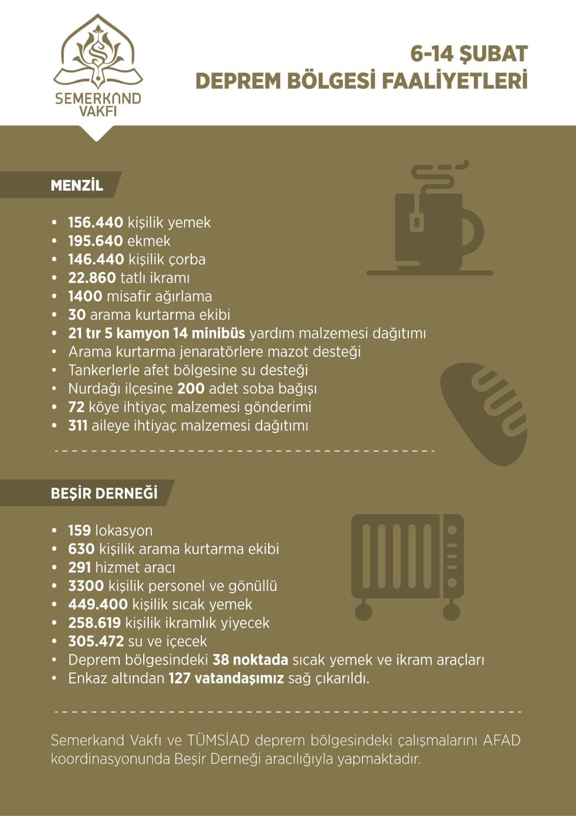
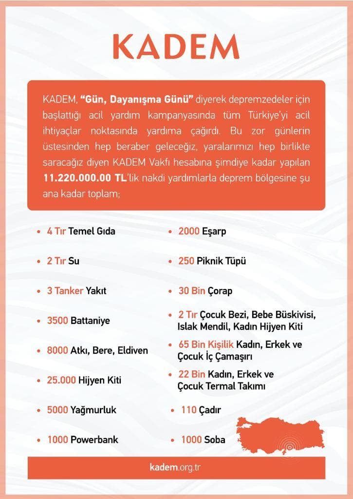
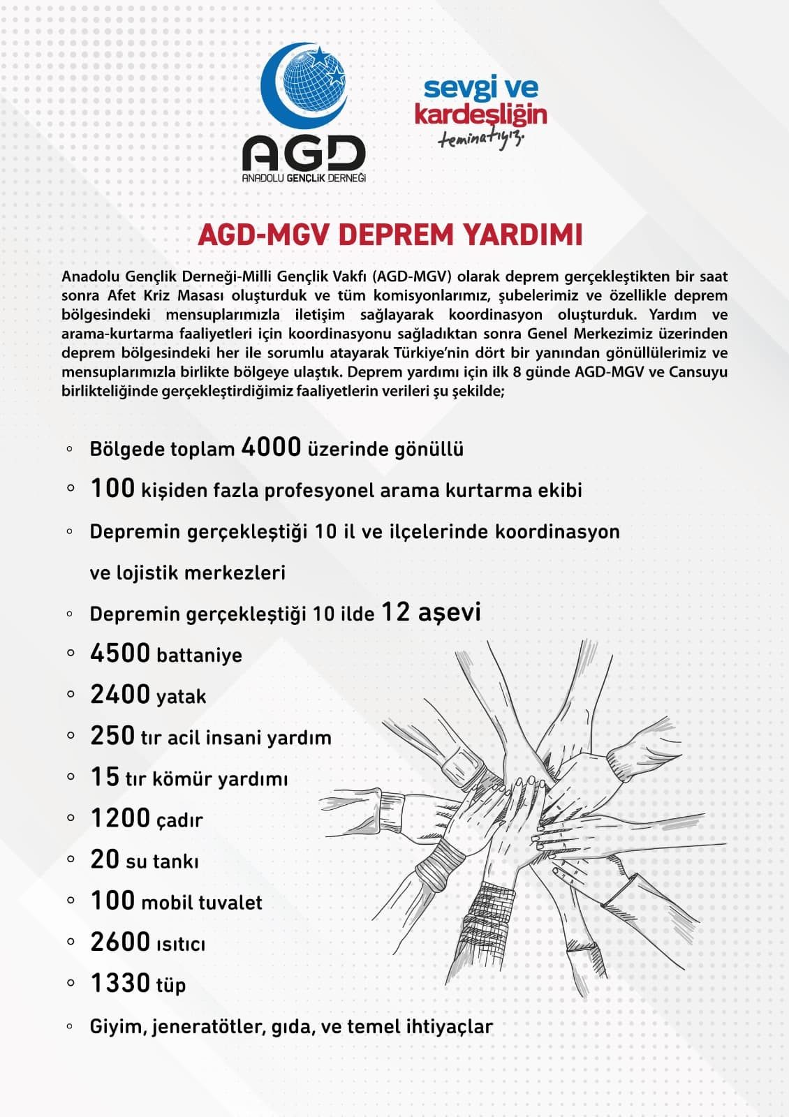
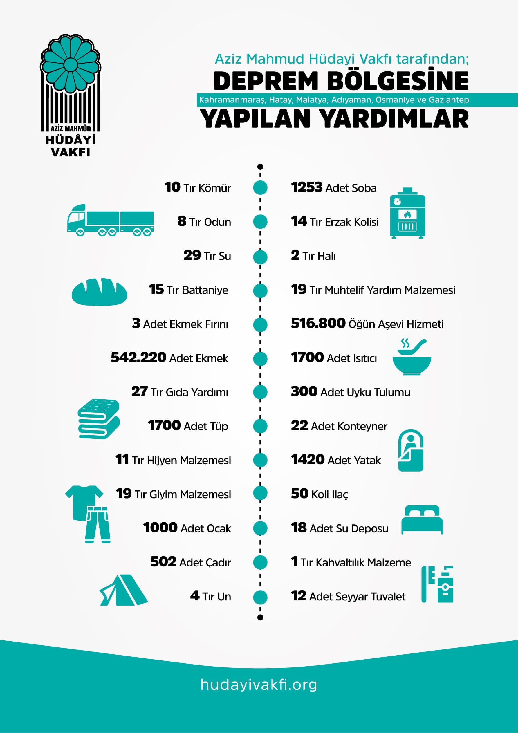
Civil Society Solidarity


Gallery
